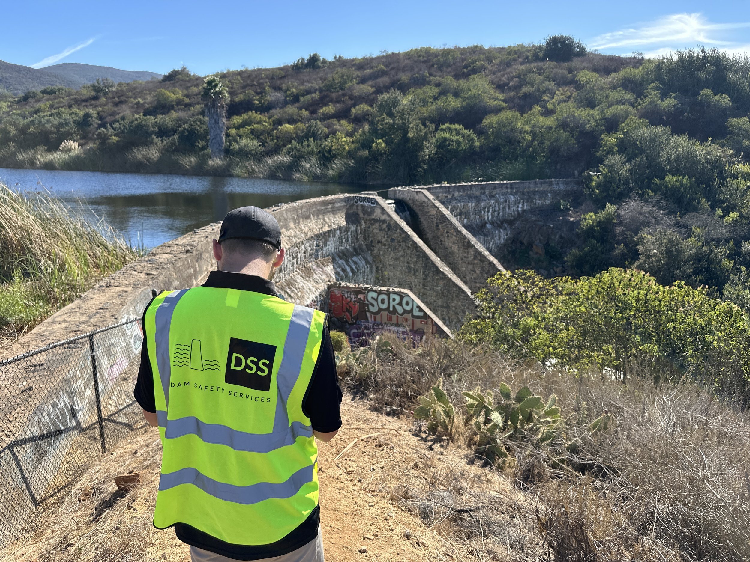
Image 1 of 4
 Image 2 of 4
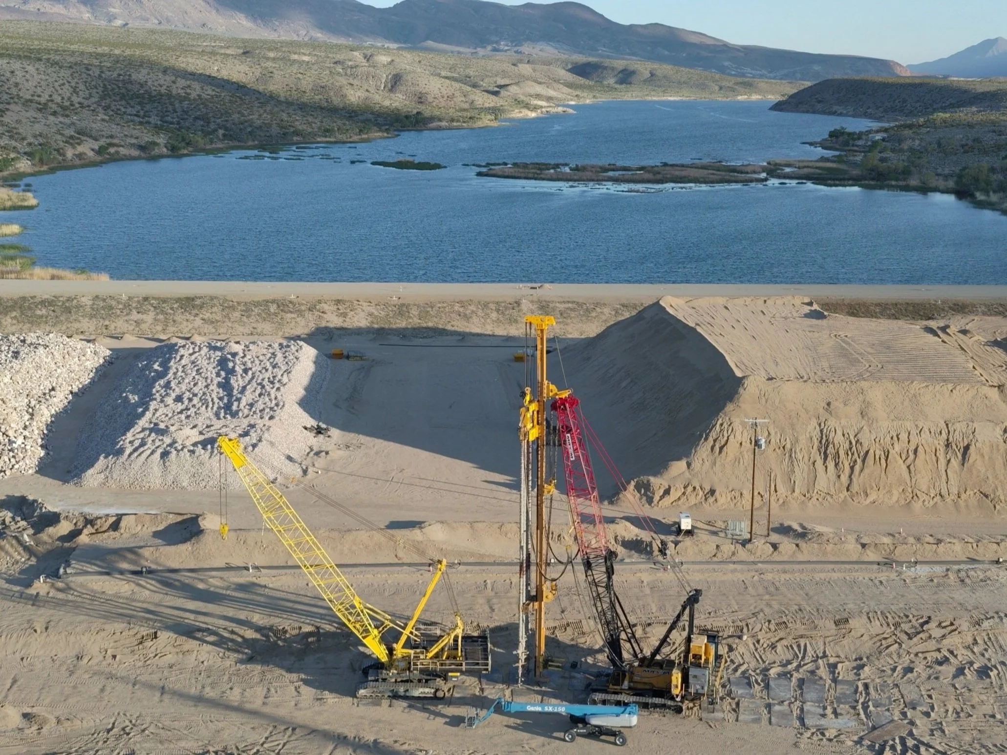
 Image 3 of 4
 Image 4 of 4
Want to get the best ROI? Add a Thermal scanning service to your DamScan for a fraction of the price!
Service Overview:
Enhance your confidence in the safety and integrity of your dams and levees with our advanced DamScan - Thermal services. Utilizing cutting-edge thermal imaging technology, our drones detect hidden issues such as leaks, seepage, and/or structural weaknesses at an early stage, offering non-invasive and cost-effective monitoring. This technology allows for precise data collection of information not apparent to the naked eye.
This thermal imaging service package is designed to provide a non-invasive, efficient, and accurate solution for monitoring dam safety, utilizing advanced drone technology to detect potential issues early and inform maintenance decisions effectively.
Deliverables:
1. Raw Thermal and RGB Images
2. Thermal Orthomosaic Image
3. Summary Thermal Analysis Report
Assumptions and Limitations:
• Assumes the dam or levee is less than two (2) linear miles and less than 100 acres in area captured.
• Reviewed by a licensed professional civil engineer.
• All travel and accommodations are included within the continental United States.
• Survey will be conducted with a NDAA-compliant drone.
• Data processing for deliverables is expected to take approximately 30 days from the completion of the site visit.
• 50% billed upon completion of the drone flights. Remaining 50% billed upon completion of data processing.
• Weather forecast will be confirmed prior to mobilization. Rain or other inclement weather may cause delays to the on-site services.
• No Ground control points will be collected.
• Dam Safety Services will name the client as additionally insured on our general liability, auto, commercial drone, and professional liability policies.
• Dam Safety Services will conduct pre-site safety and drone notifications a minimum of one week prior to mobilization.
• Client is responsible for any required site-specific client notification.
• Thermal imaging is most effective under certain environmental conditions, such as early morning or late evening, and may be less effective during midday due to solar loading.
• The presence of free water or reflective surfaces can affect the accuracy of thermal readings.
• Vegetation and other obstructions can impact the visibility and accuracy of thermal data.
• The service does not include interior thermal scans; these can be provided at an additional cost.